Injury prevention

See the conditions. Inform prevention.

Collect route observations that help teams investigate conditions relevant to trips, falls and accessibility.
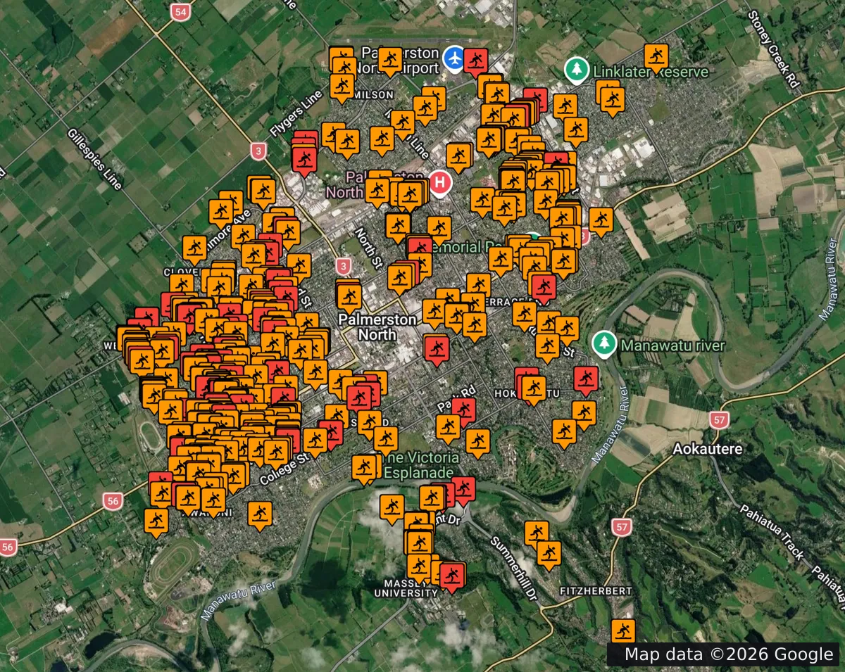
Access Quest map showing orange and red trip-hazard markers across Palmerston North. Map data ©2026 Google.
Recorded trip-hazard observations across Palmerston North. This product screenshot shows mapped records, not a complete inventory of hazards or a statement of current conditions.

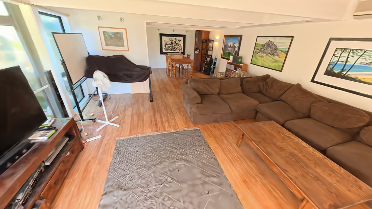
The camera moves through a furnished interior towards a doorway. The view gradually changes from a lifelike reconstruction to coloured points showing the same space. This eight-second video has no sound.

Open the interior scan video

Scanning residential, commercial, and public spaces to detect tripping hazards and accessibility issues.

See the barriers in everyday places

We identify trip hazards, overhead clearance issues and other barriers in the built environment. This gives you insight into how to reduce injuries on pedestrian networks and around the home.

Understand the conditions

Consider observations alongside the people using the place, the collection dates and other evidence. A mapped observation alone does not establish injury causation or prove a reduction in risk.

How it works

Agree the setting and the conditions to record. Our team collects and reviews the observations, then discusses the findings and limitations with you. Specialist interpretation and any repeat collection are agreed for the project.

Talk about your project

In their words

Experience from the people we work with.

“The final Smart Access data collection report has given us a road map moving forward to improving accessibility in our city.”

Emma MargettsProject Officer, Hobart City Council

“Allowing students and visitors to have access to the most accessible route and relevant amenities is such a great resource to have!”

Carina FraserAccessibility Manager, Waikato Institute of Technology

“The results of the audit have motivated our organisation to begin to improve all bus stops so they are accessible for all users of public transport to enjoy.”

Rachel DoelmanTransport Facilities Lead, Rotorua Lakes Council

A more accessible world starts on the ground.

What could better data change for you?

Discuss your project