Bus operators & transport teams
Accessible trips start before the bus arrives.
Understand the paths, crossings and waiting areas that connect people with public transport.
Understand barriers around the stop
We survey bus stops and bathrooms, and 3D scan buses, to show where riders meet barriers. Agree the facilities, vehicles and survey outputs for your project.
Connect the whole journey
We keep the pedestrian routes around your stops up to date within the agreed project scope and update schedule, so riders can plan with information about the journey from start to finish. Conditions can change between surveys; route information is not a guarantee of a barrier-free trip.
How it works
Share the stops, vehicles and pedestrian connections you want to understand. We agree the collection and review process, then record the barriers and supporting imagery for your team.
A transport example
Rotorua Lakes Council’s public project account describes a bus-stop audit that informed accessibility improvements. Explore the project accounts.
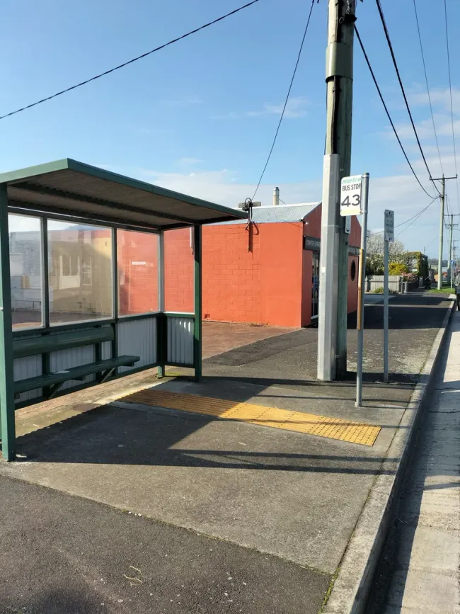
Access includes the waiting area.
Wynyard, 2022. A bus-stop observation showing the shelter, waiting area and tactile paving. This is a historical survey image, not a statement of current conditions.