
Governments & councils
Know your footpaths. Fix what matters first.
Build a clearer picture of footpaths, crossings and the routes connecting public places.
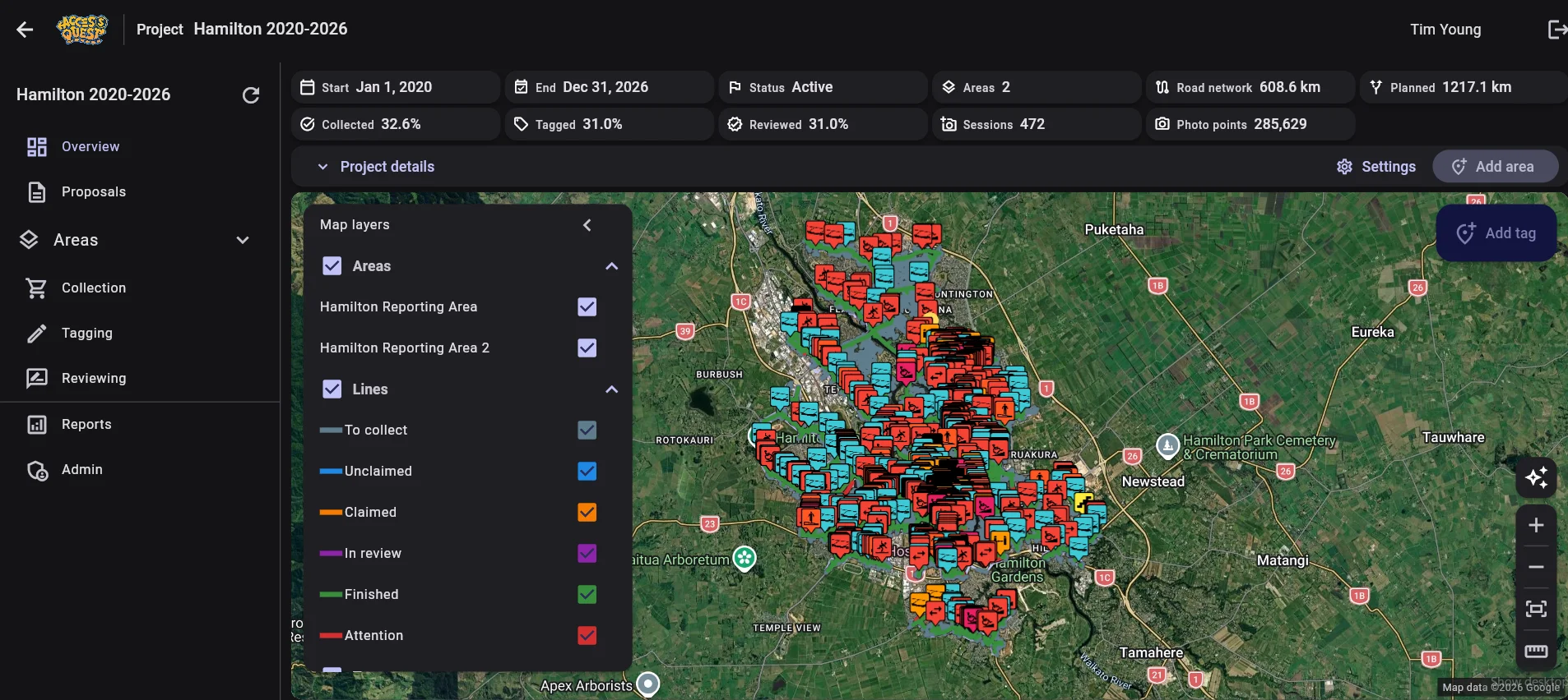
Ground-truth data for your network
We collect objective, ground-truth data across your pedestrian network. We record 40 environmental feature types, including above-ground infrastructure, so the same dataset can support your asset management. Agree the features and coverage for your project before collection.
Key amenities. Clear priorities.
We identify the key amenities that anchor your community, then define key routes between them. Urgent, high and medium priority barriers along the agreed routes go onto an evidence-based to-do list.
Evidence for decisions
That evidence helps you explain decisions to governance and funders, and support funding bids. Findings describe the surveyed conditions and collection dates; they do not guarantee funding or accessibility on every journey.
Journey planning on your council website
Our web app can carry your branding and be embedded on your council website, so residents can plan accessible journeys without leaving your site.
How it works
Agree the survey area, feature inventory and review criteria. Our team collects, tags and checks the observations, then works with you on the reporting and priority routes.
From observations to priorities
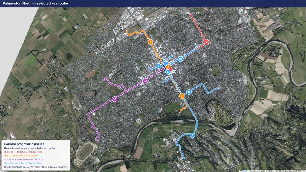
Selected routes. Connected places.
From the Palmerston North City Accessibility Report, October 2026 refreshed working draft, updated 20 October. The analysis uses existing survey records, predominantly from late 2025 with later records through April 2026; it is not a new field survey.
Source: Palmerston North City Accessibility Report, October 2026 refreshed working draftKey Routes / Current route overview
Connections that matter
Selected pedestrian routes connect medical, retail, transport, recreation, education and marae destinations. Line colours identify corridor programme groups, not repair urgency or accessibility ratings. These are report paths, not live turn-by-turn directions. Aerial imagery: LINZ / Palmerston North City Council, CC BY 4.0.
View full-size route map